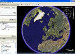
Thumbnail view of website
Details about the website and what you can do.
Click on the image above to try this site
This new site is by Microsoft and currently (January 2007) is the best mapping site I have ever seen of this type.
Aside from the usual zoomable/draggable street maps they also have aerial photograph maps, but not only that they also have "bird's eye views" of lots of locations, these are detailed angled zoomable/draggable photographs that can be viewed from several angles. You can zoom in/out using the mouse wheel if you have one.
This site really looks great if you have a high resolution monitor and run it on the Firefox browser (see link button below) in fullscreen mode.
I have done a screen grab on my pc of Firefox in 1280x1024 in fullscreen mode which you can see HERE, you will have to use the scroll bars to see it all!
Some of my examples :
St Peters Street (normal street map).
Meteor Centre.
Spider Bridge, Allenton.
See next section down for bird's eye details.
Broadband is highly recommended for this site.
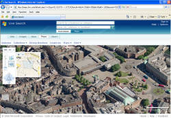
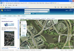
Click on the image above to try this site
This is an extra feature of the site that is amazing, you have to see this to believe it. These images were taken more recently than the "from above" photos so there are sometimes mismatches between what you can see. A lot of the ones around Derby seem to have been taken in the summer of 2006.
The views have two levels of zoom. You can drag the photo view around using the mouse to click and drag the image area around.
To get you started try some of my examples here..
Example Bird's eye views around Derby (just click a link below) :
Iron Gate and Saddler gate
Midland Road Sorting office.
Nottingham Road Cemetery.
Friar Gate Railway Bridge.
n.b. You do not need to install any software to view these images.
Broadband is highly recommended for this site.
Click on the image above to try this site
This site has been online for a while now and offers clean draggable maps. These maps are very clear and easy to navigate by dragging the map about with the mouse. I like this site for its clean and easy to use maps.
Easy to centre a map on a street, example click HERE to see a street map showing Abbey Street/Alma Street in Derby.
The Aerial photography is not as good as the above site but ok in some locations. Example Monyash.
Broadband is highly recommended for this site for the Aerial photos.
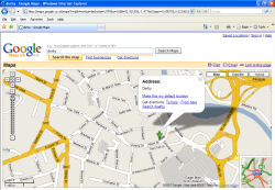
Click on the image above to try this site
This site has been around for years, It uses maps from Ordnance Survey. This site has the advantage that it can be used on a dial-up connection and it allows you to place an arrow on the map which you can then use to show someone an exact location in an e-mail by pasting the link it makes.
For example if you want to show someone the location of "The Spot" in Derby then use the link HERE. As you can see I have placed an arrow at this location.
To do this yourself, just find the location you want then click on the exact point you want to point to and it will put an arrow there, then simple copy and paste from the address bar in the browser window into your e-mail.
The navigation around the map is not as nice as google maps but its ok.
You can search by Street, Post Code, Name, OS Grid, Landranger map, Lat/long and even Telephone code area!
Click on the image above to try this site
Just like streetmap this site has been around for years too, It uses maps from Crown and Collins-Bartholomew. This site has the advantage that it can be used on a dial-up connection. Unlike Streetmap this site does have Aerial photos, the quality of which is not great but ok if you don't have broadband internet.
Example of Aerial photograph/map HERE. The road names show up as a floating square where the mouse is rather than on top of the map
The navigation around the map is not as nice as google maps but its ok.